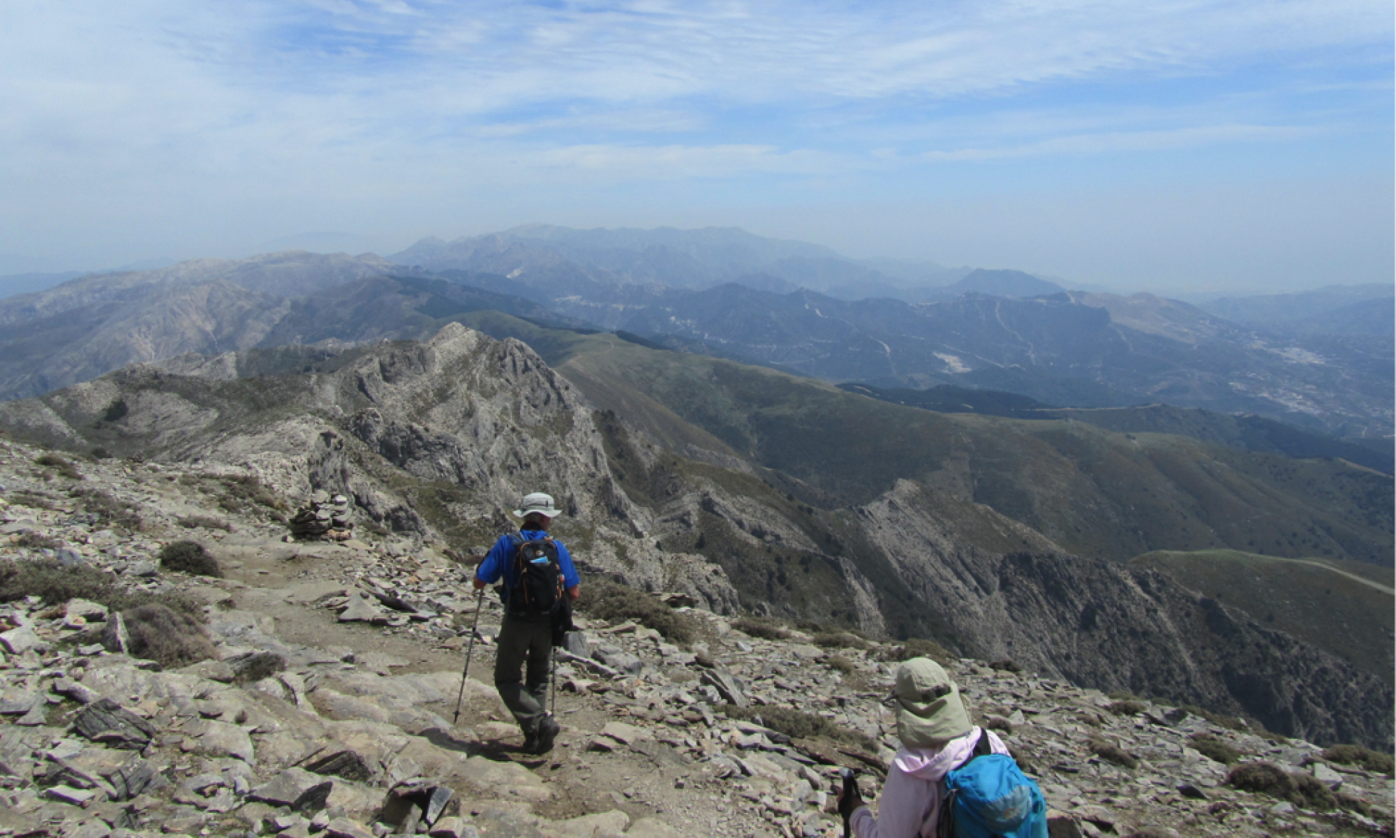
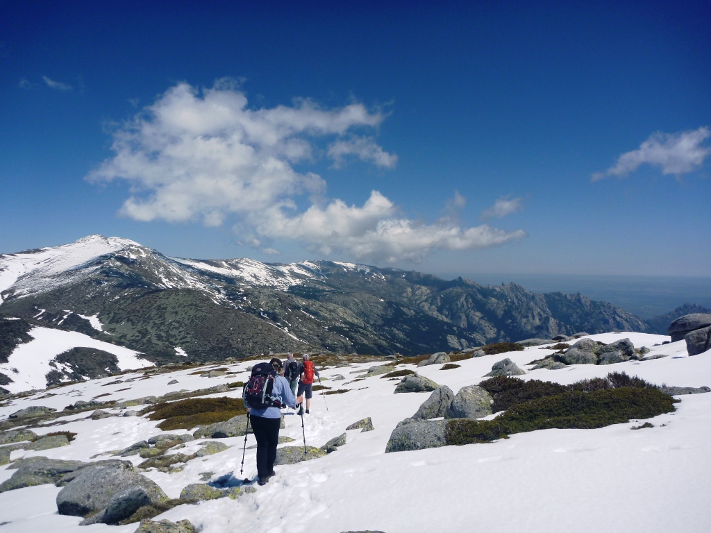
For a contribution of £8 towards my costs, I will send you by email a comprehensive set of directions for 30 walks in this area along with sketch maps.
I will also try to give you tailor-made instructions to meet any specific requirements you may have.
To proceed, email me on info@spanishtrailsco.com and I will tell you how.
These are the walks:
|
No. |
Walk |
Grade |
Distance (kms) | Ascent (metres) |
| 1 | La Maroma from Canillas de Aceituno | S | 20 | 1500 |
| 2 | La Maroma from Llanos de Sedella | M | 12 | 650 |
| 3 | La Maroma circuit and down to Sedella | VS | 22 | 1500 |
| 4 | Almanchares ravine | E | 8 | 140 |
| 5 | Sedella to Canillas de Aceituno | M | 12 | 825 |
| 6 | El Fuerte from Sedella | M | 12 | 700 |
| 7 | Sedella to Los Picaricos | M | 11 | 700 |
| 8 | Canillas de Albaida to Sedella | M | 13 | 640 |
| 9 | Canillas de Albaida to Salares one-way walk
round trip |
M
S |
10
16 |
530
800 |
| 10 | Canillas de Albaida to Cerro Gavilan via Cruz de Canillas | M | 12 | 650 |
| 11 | Canillas de Albaida to Casa de la Mina | M | 15 | 710 |
| 12 | Canillas de Albaida/Archez/Competa circuit | M | 12 | 650 |
| 13 | Cerro Verde and Cerro Atalaya | M to S | 13 | 800 |
| 14 | Malas Camas | VS | 20 | 1250 |
| 15 | El Lucero from La Fábrica | VS | 22 | 1400 |
| 16 | El Lucero circuit from Puerto Blanquillo | VS | 13 | 950 |
| 17 | The Silk Route and La Fábrica | M | 14 | 570 |
| 18 | Puerto Collado and the Silk Route circuit | M | 14 | 450 |
| 19 | Puerto de Frigiliana | S | 18 | 1050 |
| 20 | El Acebuchal and Cerro Verde | M to S | 17 | 660 |
| 21 | El Daire and the southern Lucero ridge – short route
long route |
M
VS |
9
19 |
800
1500 |
| 22 | Summit of El Cisne (short and very steep) | S | 9 | 915 |
| 23 | Acebuchal to Nerja via Puerto Umbrales | S
VS |
18 or
20 |
850 or
1200 |
| 24 | Frigiliana to El Fuerte | E | 9 | 730 |
| 25 | Nerja to Los Galgos via Rio Chillar | M | 17 | 950 |
| 26 | Nerja Caves to Frigiliana or Nerja via el Pinarillo | M
S |
15
18 |
950
1000 |
| 27 | Navachica summit from Fuente de Esparto | VS | 17 | 1350 |
| 28 | Tajo El Almendron and La Puerta | VS | 15 | 1050 |
| 29 | El Cielo | VS | 14 | 1250 |
| 30 | La Lopera | E | 9 | 320 |
Notes:
Gradings are: VS – very strenuous; S – strenuous; M – moderate; E – easy. The gradings are subjective, as what one person finds easy another may find difficult.
The distances and ascents are approximate.
Although care has been taken in preparing this information, no guarantees are given as things can change. Walkers undertake these walks entirely at their own risk.

