Here are updates on some of the walks included in Spanish Trails Book One, Picos de Europa.
The two most important updates relate to event which have occurred in 2023. They are:
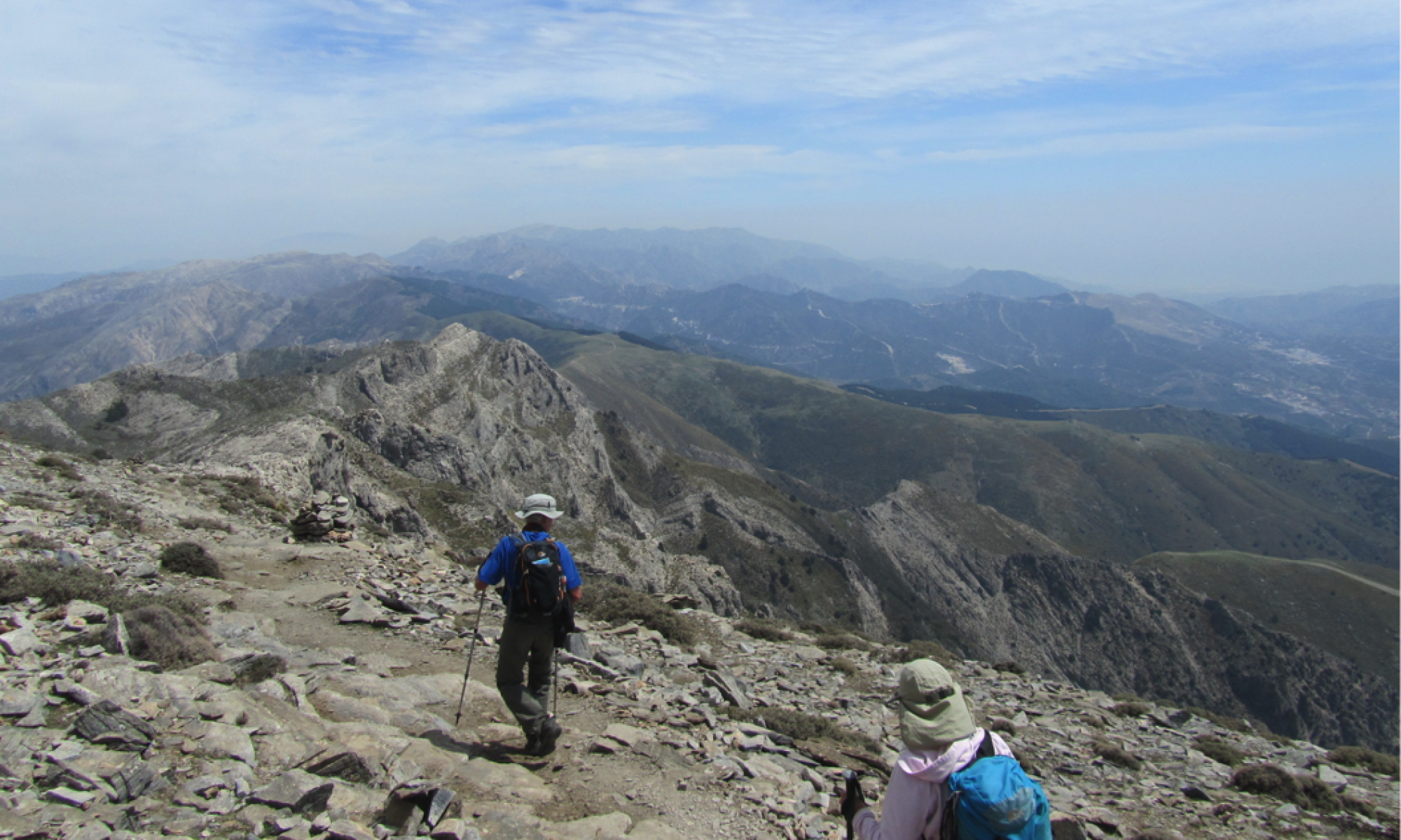
* Walk 12 – At Horcados Rojos the chain, which had become loose in places, has now been removed entirely, so there is no protection at all on this ascent. The route is still indicated with paint marks, but it is not a route for those with vertigo, and extra care is needed.
* Walks 32 to 34 – due to a road accident earlier in the year, the road to the lakes has been closed to private traffic. Access to the lakes is now by bus (9 euros return currently) or taxi (12 euros).
Other updates are:
- Walk 2. Urdon to Tresviso. A new bridge has been installed close to the electricity station at the start of the walk. It has not affected the walk directions.
- Walk 9. La Junciana. Towards the end of the walk the footpath down from the north side of Mancondiu has been improved. Very shortly after a junction with the track coming up from the right, a clear path now heads downhill to the right. Very soon there is a choice. Keep straight ahead at a junction of paths to follow the route described in the book. If you turn right instead, it will lead you to a fuente, where you can turn left and the path leads you down to the meadow.
- Walk 18. Fuente Dé to Vega de Llordes. Since I wrote up this walk the route via Canal de San Luis has been marked with red paint. Follow the directions in the book and use the red marks for confirmation.
The alternative route described from page 95 of the book has now been signposted as the path PR-PNPE 25.
- Walk 25. Peña Remoña. A car park has recently been built after 3 kms on the track from Pandetrave, at the junction with the track down to Fuente De. Beyond here cars are prohibited, so park here and walk the remaining 1.5 kms to the junction which I call Point A on my sketch map.
- Walk 26. Sedo de Mabro. In the very final paragraph on page 130, please note that as you descend the valley you will need to cross the stream several times. It is often dry, but after heavy rain or snow melt this might present a degree of difficulty.
- Walk 29. Jario. The book describes the ascent of the peak of Samaya during the return from the summit of Jario. This is still possible but the route up Samaya itself is now heavily overgrown. It involves a somewhat difficult scramble through chest-high vegetation and over boulders to reach the summit, but it remains a worthwhile diversion.
- Walk 31. Torre del Friero. The ascent is still via the scree slope in the Canal de Chavida gully, but there is now a clear path, which makes route-finding easier.
——————————————————————————————————–
And here are updates on walks included in SPANISH TRAILS BOOK TWO, SIERRA ALMIJARA AND TEJEDA.
* Walk 16. El Lucero circuit from Puerto Blanquillo. In the final paragraph of page 106, I tell you to go to the lowest point of the ridge and to descend to the left “off-piste”. A decent path has now been cleared (November 2018). As you descend from the summit of the mountain, the path is marked on the left by a cairn, some 100 metres or so before you reach the very lowest point of the descent and before climbing once more to “Base Camp”.
* Walk 6. Sedella to el Fuerte. To find the start of the walk, the details have changed slightly (November 2018). The signpost from the main road saying “Area Recreativa” is no longer there. However, you should still take a right turn after leaving Sedella towards Canillas de Aceituno, opposite another turning to the left. When you reach the “area recreativa” you will find that a car park has been newly concreted, and the statue of a vulture has been replaced with a statue of an ibex.
* Walk 8. Canillas de Albaida to Sedella. The instructions for the walk have not changed, but the repeated stream crossings have been made much easier by the construction of seven footbridges in January 2019.
* Walk 5. Sedella to Canillas de Aceituno. The path across the Almanchares ravine is now heavily overgrown (November 2019) but passable if you keep an eye open so as not to lose the path. And wear long trousers to avoid scratching from the undergrowth. I hope to do some clearing on this path in early 2020.
PUENTE COLGANTE (HANGING BRIDGE)
Since the book was published, a new route has been opened between Sedella and Canillas de Aceituno. It forms part of the long distance route GR249. It enables walks 4 and 5 to be combined to make a strenuous circular walk. Having followed walk 5 from Sedella, pick up route 4, as described in the book. Before reaching the valley bottom at Los Saltillos the path descends in zigzags to cross the ravine on a new footbridge, opened in 2020. It can wobble slightly and may not suit vertigo sufferers. Once across the bridge, the path is very steep and has some chains to hold on to at times, although they are helpful rather than essential. When the path levels out, signs lead you to Sedella.
You can use the bridge for a one-way walk to link the two villages, Canillas de Aceituno and Sedella, a distance of 9 kilometres. In that case it is preferrable to start in Sedella.
———————————————————————————————————-
SPANISH TRAILS BOOK THREE – THE MOUNTAINS OF MADRID
There has recently been a slight change to the road layout near La Barranca. As a result, to find the starting point for WALK 15 and WALK 17 (it is the same for both walks), use the following directions:
The walk begins at the car park at La Barranca. Driving on the M607 from Madrid, 500 metres past the km 56 marker, turn right on a large roundabout (it has a suspended rock in the middle of it) following an arrow to “camino rural/Bomberos”. Continue up the road for 300 metres and turn left, following signs for Parque de Bomberos and De Pino a Pino. Continue as the road swings right and at the crossing with a barrier turn right, again following signs for Parque de Bomberos and De Pino a Pino. Drive up the narrow but well-surfaced road for 2 km until you reach a series of car parks on the right. The starting point is at the furthest car park, just before a reservoir (1)
In WALK 28 the penultimate paragraph mentions a lookout post. It has been demolished! Replace that paragraph with the following:
Once you have reached the W-shaped track (8), head down it. After 1 km, on what is the second sharp righthand bend (9), leave that track (straight) down a path that slowly descends in a straight line through the forest. Continue down this path for approximately 2 km until you reach a large track.